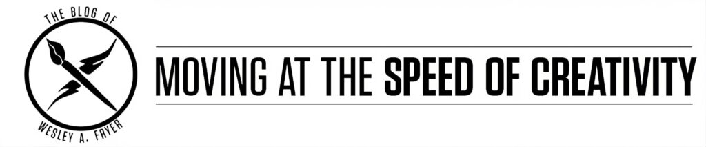
These are my notes from Toby Lester’s presentation on the Waldseemüller map which gave America its name and his book, “The Fourth Part of the World” at the September 27, 2011, Google Geo-Teacher Institute in Lewiston, Maine. MY THOUGHTS AND COMMENTS ARE IN ALL CAPS. I blogged this session on a Google Chromebook. (Samsung model) Toby’s conference bio is:
Toby Lester is a contributing editor to and has written extensively for The Atlantic. A former Peace Corps English teacher (in Yemen) and United Nations observer (in the West Bank), he lives in the Boston area. The Fourth Part of the World (2009), his first book, was a finalist for the Barnes & Noble Discover New Writers Award, and was picked as a Book of the Year by The Washington Post, The Wall Street Journal, and several other publications. His second book, Da Vinci’s Ghost, about Leonardo’s iconic drawing of a man in a circle and a square, will be published this February.
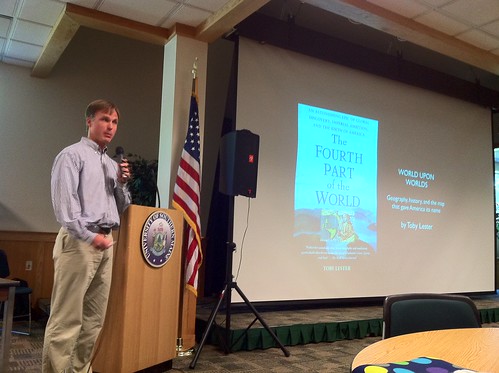
This is the first map ever created which showed the Americas surrounded by water. The first map to show the entire African coastline, showing that Europeans could navigate all the way around Africa and successfully trade with the East. That was BIGGER news than seeing the Americas. This was also the first map to include a full 360 degrees of longitude. This map was widely printed and widely disseminated.
This is the mother of the modern map as we know it.
Christopher Columbus died one year before this map was printed and made, and he died thinking he had discovered Asia not a new hemisphere.
Letters of Amerigo Vespucci were fictionalized by printers in the early 1500s, stories of sex and cannibalism were added, and one was printed with the title, “A New World”
Prior to this map, wall maps were only owned by kings and queens and possibly rich merchants
– this map, however, could be printed inexpensively in 4 panels and showed up in a lot of classrooms
– supposedly 1000 copies were printed, but it largely disappeared
In 2003 National Geographic finally was able to purchase the map for $10 million. It is the most expensive item the Library of Congress ever paid for any document. A few years earlier they paid $8 million for an original copy of the Declaration of Independence. That was a big thing that caught my attention.
I thought I’d just be telling the story of how the map was found, but as I started exploring it I found it was a very rich source of history and information on its own. This can be a GREAT interdisciplinary tool for kids and adults not only in the study of history and geography, but also
“If I hadn’t had a deadline, I still wouldn’t be finished with my book.”
Makers of the map added a title which said, “This is the center of the cosmos”
Washington Irving was one of the primary people who played up the myth that people believed the world was flat
– people laughing ant Columbus and convinced he was foolish were doing so because he was terribly wrong about his estimates of how large the earth was and is
There is very interesting history going back to ancient times that there was a belief in a 4th part of the world, in addition to “known” parts of the East, Europe and Africa
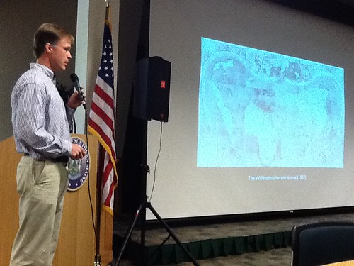
Photos on maps from this era reflected a belief among Europeans that fantastic, strange creatures lived on the fringes of the known world. This had important implications for missionaries / the church / evangelism, because it meant Christians had to go explore and convert people in these areas.
Sailor’s charts from early 1500s didn’t have a true north or top or bottom. They were basically placenames along coastlines, named accurately
Ptolemy’s early world map showed a land bridge (which he assumed) connecting Africa to Asia
– Europeans in the late 1400s were obsessed with the challenge of sailing around Africa to the East
MY THOUGHT: THIS IS SUCH A GREAT PRESENTATION, AND REALLY MAKES ME THINK ABOUT THE SPIRIT OF EXPLORATION WHICH CAN STILL BURN IN OUR HEARTS TODAY… MAKES ME WANT TO BE AN EXPLORER AND SHARE THAT PASSION WITH OTHERS!
This map embodies the idea of a 3 part world, the idea that man (people) could comprehend it all (an idea from the Renaissance), building together Ptolomy’s map with the sailor’s maps with placenames, and the idea that there is a “fourth place” of the world…
I audio recorded almost all of Toby’s presentation and it’s shared below with his permission.
If you enjoyed this post and found it useful, subscribe to Wes’ free newsletter. Check out Wes’ video tutorial library, “Playing with Media.” Information about more ways to learn with Dr. Wesley Fryer are available on wesfryer.com/after.
On this day..
- First HAM Radio Club Meeting – 2022
- Deepening our Learning Through Storytelling: creativity, STEM and stories – 2011
- Google SketchUp Workshop (Sept 2011) – 2011
- A Real Tipping Point? Vision for Individualized Learning in Maine – 2011
- This is a big map! (Giant Traveling Maps from National Geographic) – 2011
- Giant Traveling Maps project from National Geographic – 2011
- Google in Education and Chromebooks (Sept 2011) – 2011
- Digitizing Student Portfolios with an iPod Touch – 2011
- iCarly inspires The Zebra Print – 2010
- Sticking with Free Ad-Supported SMS Alerts for Class – 2010
Comments
One response to “The Fourth Part of the World by Toby Lester”
[…] Moving at the Seed of Creativity is a blog/ pod cast by Wesley Fryer. It is about different ways you can use tools in a creative ways to use them in the classroom. The blogs are different speakers he went to see and he reflected on what they said and what programs they used and different ways they used them. Talks about different projects that you can bring to the classroom that students would enjoy doing and at the same time they would be learning. The Pod cast cover a wide variety of subjects. They are informative and give you tips. […]