
These are my notes from Dan Beaupré’s presentation on the Giant Traveling Maps project from National Geographic at the September 27, 2011, Google Geo-Teacher Institute in Lewiston, Maine. MY THOUGHTS AND COMMENTS ARE IN ALL CAPS. Dan’s conference bio is:
Dan Beaupré is Director of Education Partnerships for National Geographic Live, the live events division of the National Geographic Society. He directs National Geographic Live! student programs, the Giant Traveling Maps project, and the National Geographic Explorers Camp. He is a former classroom teacher and curriculum writer for several PBS productions. Beaupre is the recipient of awards and fellowships from the National Endowment for the Humanities, the Danish-American Fulbright Commission, and the Geraldine R. Dodge Foundation. In 1998 he received the Distinguished Teacher Award from the White House. Beaupre graduated with honors with a B.A. in History (Honors) from the University of Vermont in 1990, and has a Master’s Degree in Educational Administration from Harvard University. He lives in Middlebury, VT with his wife Amy Oliver Beaupre and two children, Nicholas (10) and Louisa (8).
We like to think BIG about geography at National Geographic!
Our old mission: dissiminate geographic information to the world
our new mission: inspire people to care about the planet
this project was created as a platform to inspire others
in some cases the maps we produced for this project are the largest EVER created for particular regions/areas
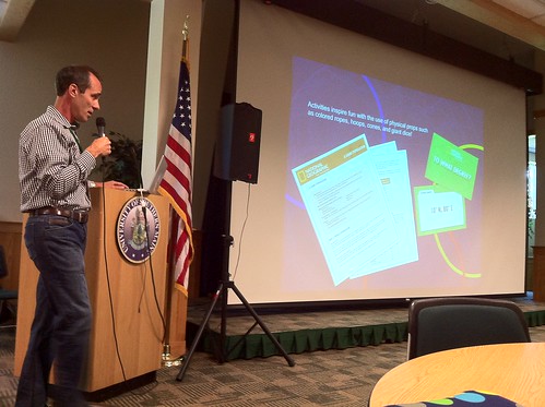
we want to help kids generate questions, see maps as an endless source of information
started with Giant Map of Africa we had at Google 6 years ago: 26 foot by 35 foot map, weighs 102 pounds!
A map this size really invites a physical experience for kids
– kids play a lot of games on the map
Activities on the maps include: safaris, scavenger hunts, team and competitive games
Asia map was 2nd one we created
Most popular game kids love playing on our maps: “Simon Says”
Wherever out maps go, they tend to get lots of local press and coverage on television (great PR opportunities for schools)
– we have 17 maps now, they are booked throughout the year
(To get an idea of how much they cost, 1 of the maps a participant at my table is getting costs $1725 to keep for 2 months. It’s $480 for 2 weeks, but the longer you rent it the less it is. Borrowing time is two week minimum)
“A map is the greatest of all epic poems. Its lines and colors show the realization od great dreams.” – Gilbert H. Grosvenor
There is a group in the state of Washington who have created a huge map like this
All maps are 26 x 35 feet in size
Generally these maps NEVER go outside, but today in Lewiston is an exception to that rule! The other two times we’ve had a map outside was at Google and at the home of a National Geographic person [I didn’t catch the name]
If you enjoyed this post and found it useful, subscribe to Wes’ free newsletter. Check out Wes’ video tutorial library, “Playing with Media.” Information about more ways to learn with Dr. Wesley Fryer are available on wesfryer.com/after.
On this day..
- First HAM Radio Club Meeting – 2022
- Deepening our Learning Through Storytelling: creativity, STEM and stories – 2011
- Google SketchUp Workshop (Sept 2011) – 2011
- A Real Tipping Point? Vision for Individualized Learning in Maine – 2011
- This is a big map! (Giant Traveling Maps from National Geographic) – 2011
- The Fourth Part of the World by Toby Lester – 2011
- Google in Education and Chromebooks (Sept 2011) – 2011
- Digitizing Student Portfolios with an iPod Touch – 2011
- iCarly inspires The Zebra Print – 2010
- Sticking with Free Ad-Supported SMS Alerts for Class – 2010